Craving a little more sky and quiet than a neighborhood lot can offer? If you’re eyeing acreage in Arrington, you’re not alone. Buyers come for the rolling hills, privacy, and room to build a life that fits them. This guide gives you the essentials on access, surveys, septic and wells, zoning, timelines, and the smart contingencies that protect you. Let’s dive in.
Why Arrington acreage appeals
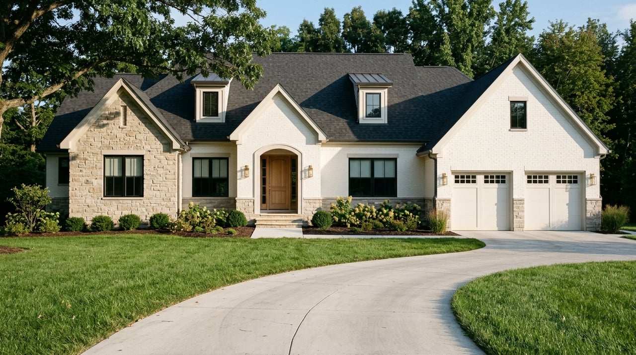
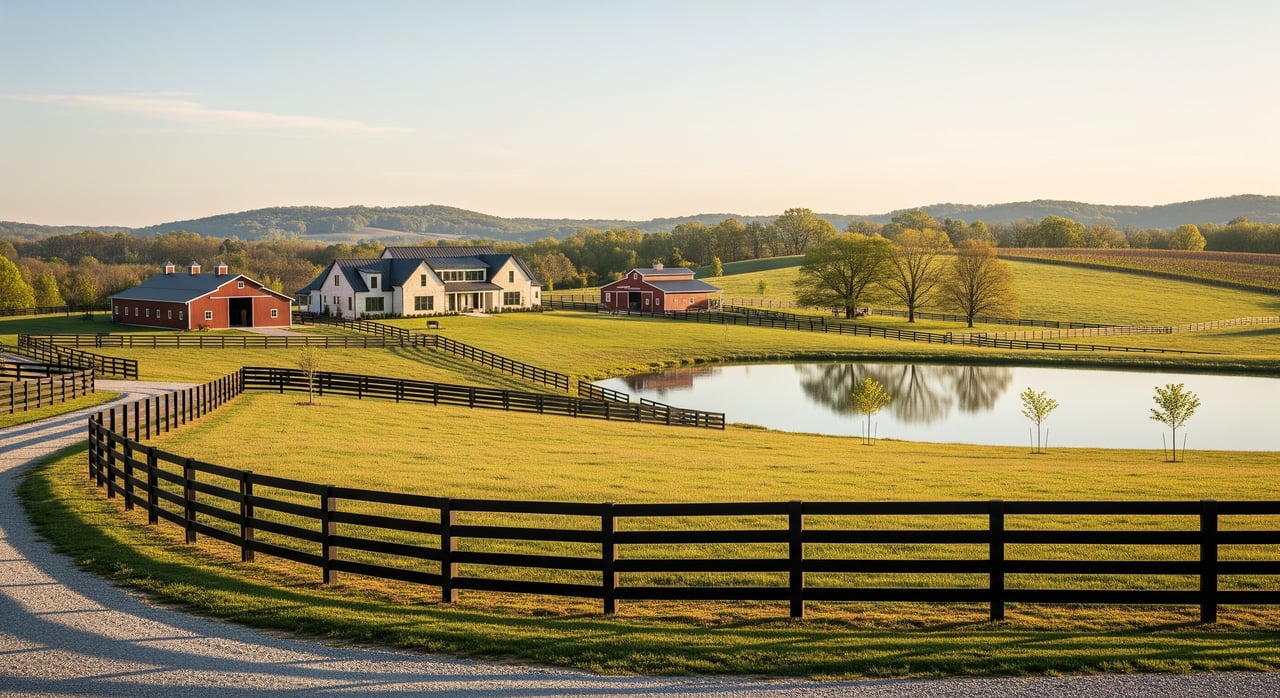
Arrington sits in rural Williamson County with farmland, timber, and large-lot residences. You’ll find everything from intact family farms to smaller tracts suited for hobby farming or a custom home. Many buyers want space and privacy while staying within reach of Franklin and area amenities.
Every parcel is different. Utilities, road access, topography, and potential to split lots depend on the property. Plan to verify everything at the parcel level during due diligence.
Access and road rights
Legal access is the first gate to clear. Deeded, recorded access to a public road is ideal. Prescriptive or undocumented access can create long-term issues, so get clarity early.
- Confirm whether access is from a county-maintained public road or a private drive.
- If access uses a private road, ask for any maintenance agreements or HOA rules.
- Road frontage does not guarantee usable access. Walk the frontage to check grades, drainage, fences, or obstructions.
- New driveways often require county or state permits. Start with the county planning office for driveway and culvert guidance through the Williamson County government.
Survey, boundaries, and title
A current boundary survey helps you avoid disputes and surprises. For simple purchases, a standard boundary survey is common. For development or lender-driven transactions, an ALTA/NSPS survey may be required.
- Ask for prior surveys, recorded plats, and the full legal description.
- Verify that corner markers exist and that fences match the actual boundary.
- Have a title company issue a title commitment that lists easements, covenants, and any mineral reservations.
- If you plan to subdivide later, confirm minimum lot sizes, frontage, and access rules with county planning.
Septic, wells, and utilities
Most Arrington acreage does not have municipal water or sewer. Expect on-site septic and possibly a private well unless a nearby utility line is confirmed.
- Septic: Schedule perc and soils evaluations with the county health department. System design and permitting are required before you build. For soils mapping context, explore the USDA NRCS Web Soil Survey.
- Wells: A licensed driller handles siting and drilling. You can review statewide health resources through the Tennessee Department of Health, and your driller will follow state and county rules.
- Electric: Contact the local electric provider about capacity and any line-extension costs. You may need recorded easements for new service.
- Gas and backup: Many rural homes use propane with optional generators.
- Broadband: Coverage varies by parcel. Confirm with providers and check maps before you commit.
Site and environmental checks
Acreage often includes features that affect where you can build and how you design septic and driveways.
- Soils and slope: A soils consultant can evaluate buildability and septic placement. The Web Soil Survey is a helpful starting point.
- Karst and rock: Limestone areas can mean sinkholes or shallow rock. A geotechnical opinion may be smart for certain sites.
- Wetlands and streams: These can limit usable area and trigger regulations. Review state guidance through the Tennessee Department of Environment and Conservation and federal jurisdiction via the U.S. Army Corps of Engineers.
- Floodplain: Always check FEMA maps. The FEMA Flood Map Service Center helps you identify flood risk and insurance implications.
Zoning, land use, and tax status
Williamson County zoning controls permitted uses, minimum lot sizes, setbacks, and subdivision rules. Agricultural uses are common in rural districts, but each parcel should be verified for its zoning and recorded restrictions. Start with Williamson County government for planning and zoning resources.
Tennessee offers tax relief opportunities for bona fide agricultural or forestry use. The county property assessor can explain eligibility, documentation, and application timelines.
Permits and typical sequencing
Plan your approvals in a logical order so you do not hit preventable delays. A common sequence looks like this:
- Boundary survey
- Perc and soils testing
- Septic design and permit submission
- Well site assessment and well permit/registration if needed
- Driveway and culvert permit, plus utility coordination
- Building permit and any required erosion control plans
Agency workloads affect timing, so build in buffer weeks.
Financing and appraisal basics
Financing land differs from financing a home. Some lenders require proof of suitable water and septic before closing. Land and construction loans often have different down payments and draw schedules. Appraisals can be challenging if there are few comparable sales. Cash buyers and specialized land lenders are common in acreage purchases.
Due diligence checklist
Use this checklist to structure your review. Copy or print it for your file.
Access
- Recorded, deeded access to a public road
- Private road maintenance agreement, if applicable
- Driveway and culvert permit feasibility
Survey and title
- Current boundary survey or order a new one
- Title commitment with all easements and covenants
- Mineral reservations or severances noted
Septic and soils
- Perc and soils evaluation scheduled
- Septic design path identified with county health department
Water and utilities
- Well drilling feasibility and quotes
- Electric provider capacity and line-extension costs
- Broadband coverage verification
Site and environmental
- Topography and buildable area review
- Floodplain check via FEMA maps
- Wetland or stream constraints, consult TDEC and the U.S. Army Corps of Engineers
- Soils context via Web Soil Survey
Zoning and taxes
- County zoning, setbacks, and subdivision potential
- Agricultural or forestry tax classification discussion with the county
Permits and contracts
- Septic, well, driveway, and building permits plan
- Contract contingencies for survey, title, septic, access, and financing
Sample 60-day timeline
- Days 0–7: Contract, earnest money, title commitment ordered, seller provides disclosures and prior surveys.
- Days 0–14: Order boundary survey; request any well logs and septic records; schedule site walk.
- Days 7–30: Perc and soils testing; contact electric and broadband providers about service availability and costs.
- Days 14–45: Submit septic design; prepare driveway permit; start well permitting if needed.
- Days 21–60: Resolve title exceptions; lender appraisal if financing; upgrade to ALTA survey if lender requires.
- Days 30–90: Environmental or geotechnical studies if slopes, karst, or streams are present; finalize loan and closing documents.
- Closing: Record deed; file any easements or maintenance agreements.
Tip: Negotiate a 30 to 60 day due diligence window to allow for surveys, soils, title, and utility feasibility.
Our recommended workflow
Pre-offer screening
- Gather deed, prior surveys, tax card, aerials, and disclosures.
- Check zoning, assessor data, FEMA map, and broadband availability.
Site visit and education
- Walk the property with you and a trusted land contractor to flag access, grades, and visible constraints.
Contract strategy
- Build in clear contingencies with dates for survey, perc, title, access, and financing.
- Require the seller to deliver existing documents quickly.
Due diligence coordination
- Order a boundary or ALTA survey as needed.
- Schedule soils testing and coordinate with the county health department.
- Engage a well driller if a private well is planned.
- Obtain title commitment and review easements and covenants.
- Contact utilities to size line extensions and set timelines.
- If you plan to build or subdivide, bring in a civil engineer and, if needed, a geotechnical consultant.
Approvals and negotiation
- File permits for septic, well, and driveway.
- Negotiate repairs or remedies if tests uncover issues.
Closing and post-closing
- Record easements and any shared-drive agreements.
- Share a vetted list of local vendors for septic installation, well drilling, surveys, driveway, clearing, forestry, and legal/title support.
Common pitfalls to avoid
- No recorded access: Do not proceed without deeded access to a public road or a properly recorded easement.
- Failed perc: If soils do not support a standard system, you may need an engineered or mound system, or to connect to sewer if available.
- Hidden easements: Utility or access corridors can limit where you build.
- Undersized utility plans: Budget for electric line extensions and propane, and verify broadband before closing.
- Karst and floodplain surprises: Use FEMA maps, soils tools, and professional input to pick safe, buildable sites.
Next steps in Arrington
If you are considering acreage in Arrington, a clear plan will save you time and money. We can help you evaluate parcels, coordinate soils and survey work, and navigate county processes with confidence. Ready to walk a property or pressure-test your plan? Reach out to The Phillips Group to get started.
FAQs
How do I confirm legal access to an Arrington parcel?
- Review the deed and title commitment for recorded access, request a boundary survey, and verify if the road is public or a private drive with a maintenance agreement.
Will I get public water or sewer on acreage in Arrington?
- Many parcels rely on on-site wells and septic systems; confirm utility availability with the county and providers for the specific property.
What if a property fails the perc test in Williamson County?
- You may need an engineered or mound septic system, or to connect to sewer if it is available; each option changes cost and timing.
How long do septic and driveway permits usually take?
- Straightforward septic permits can take a few weeks, while engineered systems or complex sites may take several months; driveway permits vary with workload.
Should I worry about mineral rights when buying land?
- Mineral reservations can appear in the title history; ask your title company to flag them and consult a real estate attorney if needed.
When do I need an ALTA survey for land financing?
- Lenders commonly require ALTA/NSPS surveys for financed purchases or development; for simple cash purchases, a boundary survey may suffice.
How do agricultural tax classifications work in Tennessee?
- Properties in bona fide agricultural or forestry use may qualify for reduced assessment; confirm criteria and application steps with the county property assessor.